About the Book
Paddling Georgia offers 38 trips
covering the three primary regions of the state – North Georgia,
Middle Georgia, South Georgia, plus Coastal Georgia. The paddles
combine scenery, experiences, ease of access – including shuttling
when necessary, and a reasonable length for day tripping.
.jpg)
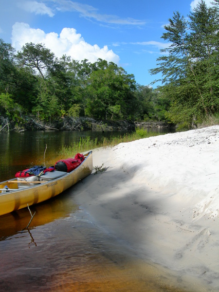
St. Marys River
Flint River
Each paddle included in the book
is chosen as a day trip, though overnight camping can be done where
noted. Each paddle offers an array of information desired to paddle
Georgia, including the data box, which details county of paddle,
starting and end points including GPS coordinates,, distance, paddle
time, difficulty rating, type of waterway, river gradient, river
gauges, land status, nearest town and other boats used. Driving
directions follow. A paddle summary follows driving directions. This
does what it sounds like it should do – it gives an overview of the
paddle trip, giving you an idea of what to expect that will help you
determine whether or not you want to experience this waterway. A
river summary follows. This gives an overview of the entire river,
not just the section paddled. Next comes The Paddle, which is the
meat and potatoes narrative, giving you detailed information about
your river trip, including flora, fauna and interesting
not-to-be-missed natural features. It also details important
information needed to execute the paddle, including forthcoming
rapids, portages, bridges and stops along the way and the mileages
at which you will come across them.
.jpg)
Toccoa River
After The Paddle comes a section
known as Paddle Information, which gives you other things you need
to know in list form, such as season, which gives the recommended
times of year to execute the trip. Fees/permits tells whether or not
your trip will require anything other than simply showing up. The
Maps section list pertinent maps you can use for your paddle, though
a valuable map is included with each paddle. The Organization
section lists groups that charge themselves with taking care of the
particular waterway included in the paddle. Contact/Outfitter
listing will give you information if an outfitter operates on the
segment of river given. Finally, each paddle has a sidebar. This is
interesting information about the waterway that doesn’t necessarily
pertain to the specific paddle but gives you some human or natural
tidbit that may pique your interest to explore beyond the simple
mechanics of the paddle. Photos are included with each paddle.
.jpg)
Broad River
Why You Should Get this book:
* this book spares the reader
the frustration of trying to find the right paddle in the right
place. Johnny Molloy went out and paddled over Georgia, researching
and finding the water adventures in which to enjoy
Georgia’s
varied waters.
*Each paddle
includes everything you need to know about executing your trip from
put-ins to takeouts to river difficulty, river gauges and also
whether outfitters are located on the waterway in case you’re
looking for a shuttle.
*the book
uses the most up-to-date technology. The maps are GPS driven, put in
and take outs include GPS map coordinates, it gives Internet
addresses so you can check the river gauge for your chosen paddle
for you get on the water rather than finding out too late that it is
too high or too low.
* The book
covers not only the nuts and bolts information about executing your
trip but also human and natural history of the area. This way you
can learn a little bit about the natural wonders of Georgia and it’s
fascinating past while enjoying some time on the water.
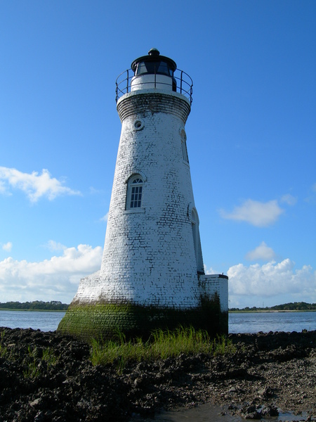
Cockspur Lighthouse
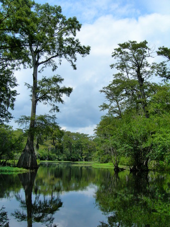
Ebenezer Creek |

